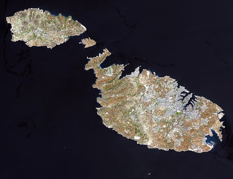
Wêne:Satelite image of Malta.jpg

Mezinahiya vê pêşdîtinê: 779 × 599 pîksel. Resolusyonên din: 312 × 240 pîksel | 624 × 480 pîksel | 998 × 768 pîksel | 1280 × 985 pîksel | 2560 × 1970 pîksel | 2760 × 2124 pîksel.
Dosyeya orjînal (2760 × 2124 pixel, mezinbûnê data: 723 KB, MIME-typ: image/jpeg)
Dîroka daneyê
Ji bo dîtina guhartoya wê demê bişkoka dîrokê bitikîne.
| Dîrok/Katjimêr | Wêneyê biçûk | Mezinahî | Bikarhêner | Şirove | |
|---|---|---|---|---|---|
| niha | 04:05, 24 kanûna pêşîn 2004 |  | 2760 x 2124 (723 KB) | Chris 73 |
Bikaranîna pelê
Rûpelekî ku ji vê dosyeyê bi kar tîne nîne.
Bikaranîna gerdûnî ya pelê
Ev wîkiyên di rêzê de vê pelê bi kar tînin:
- Bikaranîna di af.wikipedia.org de
- Bikaranîna di ast.wikipedia.org de
- Bikaranîna di ba.wikipedia.org de
- Bikaranîna di bg.wiktionary.org de
- Bikaranîna di bn.wikipedia.org de
- Bikaranîna di bs.wikipedia.org de
- Bikaranîna di ca.wikipedia.org de
- Bikaranîna di cy.wiktionary.org de
- Bikaranîna di de.wikipedia.org de
- Bikaranîna di el.wikipedia.org de
- Bikaranîna di eml.wikipedia.org de
- Bikaranîna di en.wikiquote.org de
- Bikaranîna di en.wiktionary.org de
- Bikaranîna di eo.wikipedia.org de
- Bikaranîna di es.wikipedia.org de
- Bikaranîna di et.wikipedia.org de
- Bikaranîna di fa.wikipedia.org de
- Bikaranîna di fi.wikipedia.org de
- Bikaranîna di fr.wikipedia.org de
- Bikaranîna di fr.wiktionary.org de
- Bikaranîna di fy.wikipedia.org de
- Bikaranîna di hr.wikipedia.org de
- Bikaranîna di hu.wikipedia.org de
- Bikaranîna di it.wikipedia.org de
Zêdetir bikaranîna global a vê pelê bibîne.


