
Wêne:Kilis city center.jpg

Mezinahiya vê pêşdîtinê: 799 × 600 pîksel. Resolusyonên din: 320 × 240 pîksel | 640 × 480 pîksel | 1023 × 768 pîksel | 1280 × 961 pîksel | 2560 × 1922 pîksel | 2969 × 2229 pîksel.
Dosyeya orjînal (2969 × 2229 pixel, mezinbûnê data: 1,27 MB, MIME-typ: image/jpeg)
| Ev pel ji Wikimedia Commonsê ye. Agahdariya li ser rûpela danasîna pelê li jêr tê nîşandan. |
Danasîn
| Danasîn |
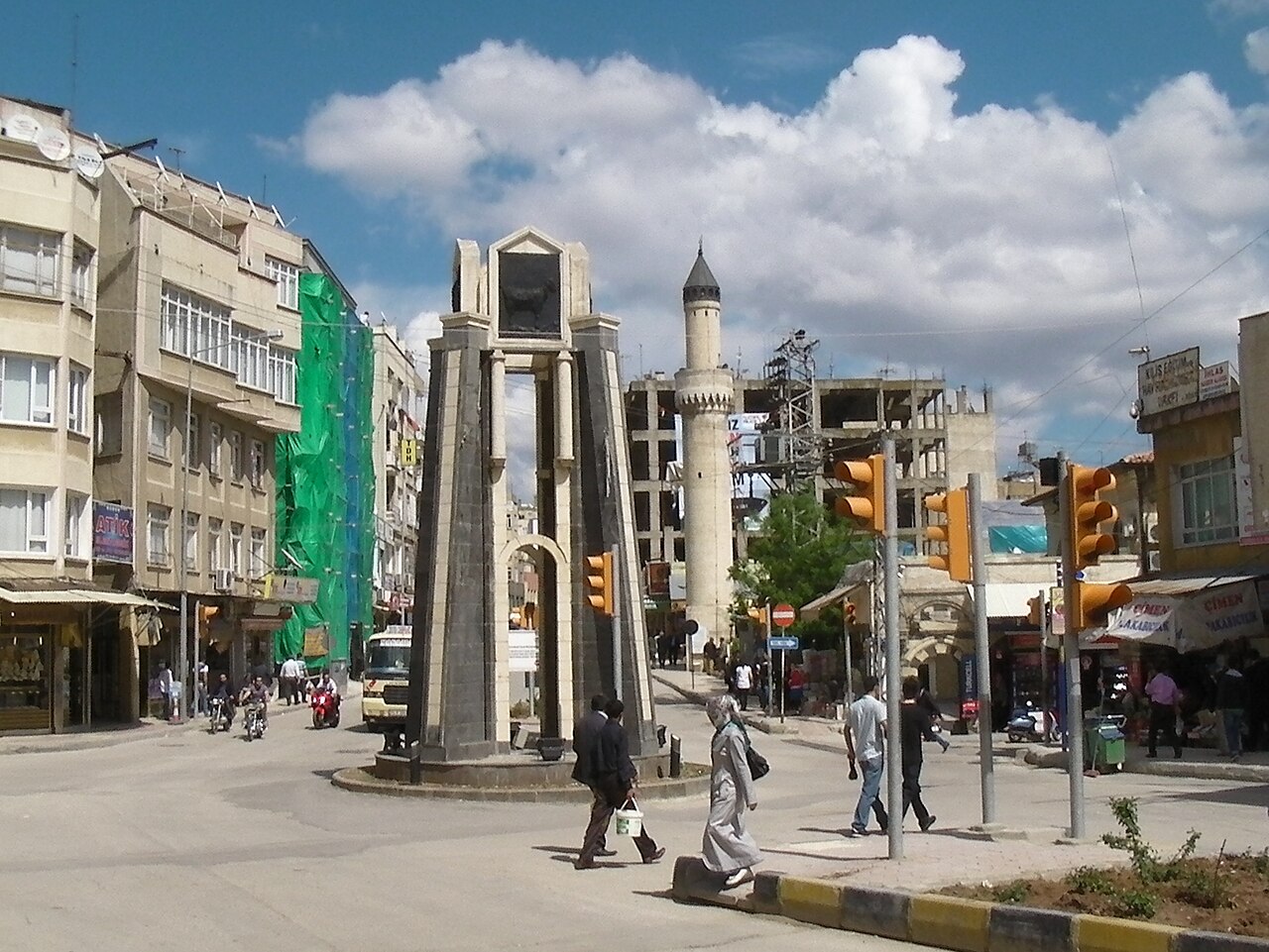
English: Photo taken at or near the center of Kilis, Turkey. Elevation here is about 663 meters. |
||
| Dîrok | |||
| Çavkanî | Min çêkir | ||
| Xwedî | Brian Dell | ||
| Destûr (Dîsa bikaranînê vê dosyeye) |
|
| Şûnda kamerayê | | Ev wêne û yên din li ser OpenStreetMap |
|---|
Dîroka daneyê
Ji bo dîtina guhartoya wê demê bişkoka dîrokê bitikîne.
| Dîrok/Katjimêr | Wêneyê biçûk | Mezinahî | Bikarhêner | Şirove | |
|---|---|---|---|---|---|
| niha | 09:59, 11 tebax 2010 | | 2969 x 2229 (1,27 MB) | Bdell555 | {{Information |Description={{en|1=Photo taken at or near the center of Kilis, Turkey. Elevation here is about 663 meters.}} |Source={{own}} |Author=Brian Dell Bdell555 |Date=2010-04-22 |Permission= |other_versions= }} {{location dec|36. |
Bikaranîna pelê
Ev rûpelên li jêr vê dosyeyê bi kar tînin:
Bikaranîna gerdûnî ya pelê
Ev wîkiyên di rêzê de vê pelê bi kar tînin:
- Bikaranîna di ar.wikipedia.org de
- Bikaranîna di arz.wikipedia.org de
- Bikaranîna di ast.wikipedia.org de
- Bikaranîna di azb.wikipedia.org de
- Bikaranîna di az.wiktionary.org de
- Bikaranîna di bg.wikipedia.org de
- Bikaranîna di ca.wikipedia.org de
- Bikaranîna di ceb.wikipedia.org de
- Bikaranîna di ce.wikipedia.org de
- Bikaranîna di ckb.wikipedia.org de
- Bikaranîna di cs.wikipedia.org de
- Bikaranîna di de.wikipedia.org de
- Bikaranîna di diq.wikipedia.org de
- Bikaranîna di el.wikipedia.org de
- Bikaranîna di en.wikipedia.org de
- Bikaranîna di en.wikivoyage.org de
- Bikaranîna di eo.wikipedia.org de
- Bikaranîna di es.wikipedia.org de
- Bikaranîna di fa.wikipedia.org de
- Bikaranîna di fi.wikipedia.org de
- Bikaranîna di fr.wikipedia.org de
- Bikaranîna di gag.wikipedia.org de
- Bikaranîna di he.wikipedia.org de
- Bikaranîna di hy.wikipedia.org de
- Bikaranîna di hyw.wikipedia.org de
- Bikaranîna di incubator.wikimedia.org de
- Bikaranîna di it.wikipedia.org de
- Bikaranîna di it.wikivoyage.org de
- Bikaranîna di ja.wikipedia.org de
- Bikaranîna di ka.wikipedia.org de
- Bikaranîna di lt.wikipedia.org de
- Bikaranîna di mdf.wikipedia.org de
- Bikaranîna di min.wikipedia.org de
- Bikaranîna di mrj.wikipedia.org de
- Bikaranîna di ms.wikipedia.org de
- Bikaranîna di nl.wikipedia.org de
- Bikaranîna di nn.wikipedia.org de
- Bikaranîna di no.wikipedia.org de
- Bikaranîna di os.wikipedia.org de
- Bikaranîna di pl.wikipedia.org de
- Bikaranîna di pl.wikivoyage.org de
- Bikaranîna di pt.wikipedia.org de
- Bikaranîna di ro.wikipedia.org de
- Bikaranîna di ru.wikipedia.org de
- Bikaranîna di rw.wikipedia.org de
- Bikaranîna di sco.wikipedia.org de
- Bikaranîna di sh.wikipedia.org de
- Bikaranîna di simple.wikipedia.org de
Zêdetir bikaranîna global a vê pelê bibîne.