
Wêne:Confluence of Erdre and Loire, Nantes, France, 1890s.jpg

Mezinahiya vê pêşdîtinê: 800 × 594 pîksel. Resolusyonên din: 320 × 238 pîksel | 640 × 476 pîksel | 1024 × 761 pîksel | 1280 × 951 pîksel | 2560 × 1902 pîksel | 3486 × 2590 pîksel.
Dosyeya orjînal (3486 × 2590 pixel, mezinbûnê data: 2,94 MB, MIME-typ: image/jpeg)
| Ev pel ji Wikimedia Commonsê ye. Agahdariya li ser rûpela danasîna pelê li jêr tê nîşandan. |
Danasîn
| Danasîn |
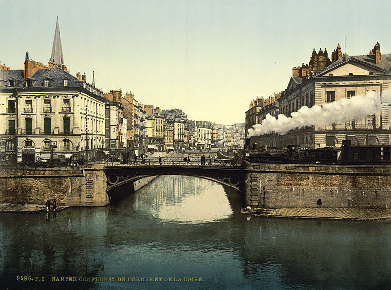
English: Confluence of Erdre and Loire rivers in Nantes, France
Français : Confluent de l'Erdre et de la Loire, Nantes |
||
| Dîrok | 1890 - 1900 | ||
| Çavkanî |
|
||
| Xwedî | Detroit Publishing Co., under license from Photoglob Zürich |

| Şûnda kamerayê | | Ev wêne û yên din li ser OpenStreetMap |
|---|
Lîsans
This work is in the public domain in the United States because it was published (or registered with the U.S. Copyright Office) before January 1, 1929.
Public domain works must be out of copyright in both the United States and in the source country of the work in order to be hosted on the Commons. If the work is not a U.S. work, the file must have an additional copyright tag indicating the copyright status in the source country.
Note: This tag should not be used for sound recordings. |
Dîroka daneyê
Ji bo dîtina guhartoya wê demê bişkoka dîrokê bitikîne.
| Dîrok/Katjimêr | Wêneyê biçûk | Mezinahî | Bikarhêner | Şirove | |
|---|---|---|---|---|---|
| niha | 21:00, 12 tebax 2010 | | 3486 x 2590 (2,94 MB) | BotMultichillT | <br /> <b>Warning</b>: Invalid argument supplied for foreach() in <b>/home/www/kunden/ramselehof.de/wikipedia/flinfo/FlinfoWiki.php</b> on line <b>464</b><br /> <br /> <b>Warning</b>: Cannot modify header information - headers already sent by (output st |
Bikaranîna pelê
Ev rûpelên li jêr vê dosyeyê bi kar tînin:
Bikaranîna gerdûnî ya pelê
Ev wîkiyên di rêzê de vê pelê bi kar tînin:
- Bikaranîna di ast.wikipedia.org de
- Bikaranîna di azb.wikipedia.org de
- Bikaranîna di br.wikipedia.org de
- Bikaranîna di de.wikipedia.org de
- Bikaranîna di en.wikipedia.org de
- Bikaranîna di es.wikipedia.org de
- Bikaranîna di fr.wikipedia.org de
- Bikaranîna di sv.wikipedia.org de