
Wêne:Map of the historical region of (Iranian) Azerbaijan.png
Mezinahiya vê pêşdîtinê: 652 × 600 pîksel. Resolusyonên din: 261 × 240 pîksel | 522 × 480 pîksel | 895 × 823 pîksel.
Dosyeya orjînal (895 × 823 pixel, mezinbûnê data: 22 KB, MIME-typ: image/png)
| Ev pel ji Wikimedia Commonsê ye. Agahdariya li ser rûpela danasîna pelê li jêr tê nîşandan. |
_Azerbaijan.png?uselang=ku-latn)
Danasîn
| Danasîn |
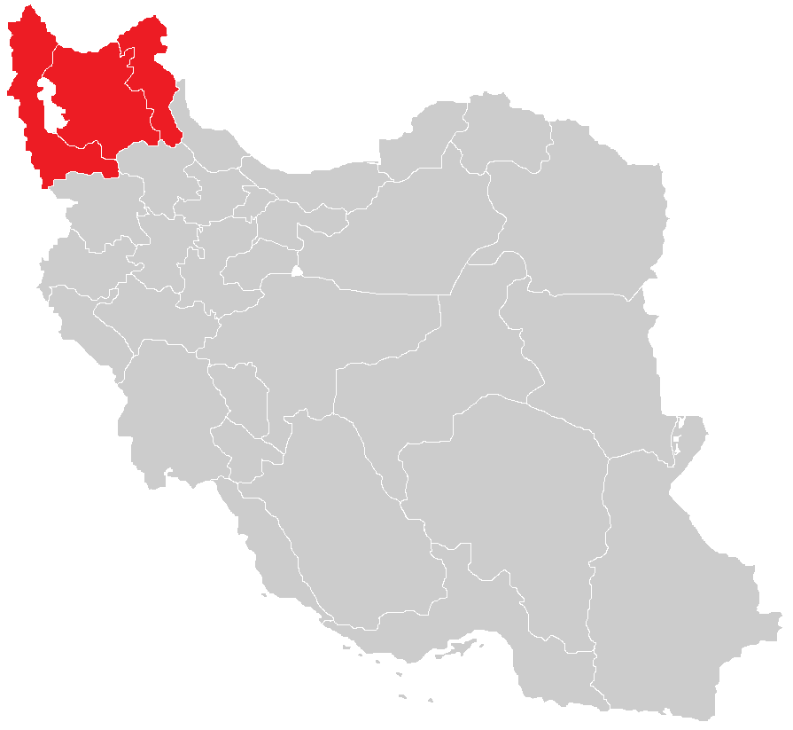
English: Map of the historical region of (Iranian) Azerbaijan |
| Dîrok | |
| Çavkanî |
https://commons.wikimedia.org/w/index.php?title=File:Iranian-Azerbaijan.png&dir=prev#filehistory Based on the sources;
|
| Xwedî | HistoryofIran |
Lîsans
This file is licensed under the Creative Commons Attribution-Share Alike 4.0 International license.
- Tu azad î:
- parve bike – ji bo kopîkirin, belavkirin û weşandina xebatê
- ji bo guhartin û adaptekirina naverokê – ji bo adaptekirina xebatê
- Di bin van mercan de:
- isnad – Divê tu isnadeke maqûl bikî, lînekek pêşkêş bikî ji bo lîsansê, û diyar bikî ku guhartin hatiye kirin an na. Tu dikarî vê yekê bi adilî bi cih bînî, lê ne bi awayê ku wekî lîsansor te an bikaranîna te pejirandibe.
- parvekirinê mîna hev – Ger tu materyalê biguherînî, bizivirînî formeke din, an ava bikî divê beşdariyên xwe di bin eynî lîsansê an lîsansa hevaheng de wekî ya eslî belav bikî.

|
This map image could be re-created using vector graphics as an SVG file. This has several advantages; see Commons:Media for cleanup for more information. If an SVG form of this image is available, please upload it and afterwards replace this template with
{{vector version available|new image name}}.
It is recommended to name the SVG file “Map of the historical region of (Iranian) Azerbaijan.svg”—then the template Vector version available (or Vva) does not need the new image name parameter. |
Dîroka daneyê
Ji bo dîtina guhartoya wê demê bişkoka dîrokê bitikîne.
| Dîrok/Katjimêr | Wêneyê biçûk | Mezinahî | Bikarhêner | Şirove | |
|---|---|---|---|---|---|
| niha | 13:28, 29 îlon 2023 | | 895 x 823 (22 KB) | HistoryofIran | rv, WP:RS contradicts this. |
| 09:24, 27 îlon 2023 |  | 895 x 823 (15 KB) | AkaneoMT | Added Zanjan province as a contested part of historical Azerbaijan | |
| 11:59, 19 kanûna paşîn 2022 |  | 895 x 823 (22 KB) | HistoryofIran | Uploaded a work by HistoryofIran from https://commons.wikimedia.org/w/index.php?title=File:Iranian-Azerbaijan.png&dir=prev#filehistory with UploadWizard |
Bikaranîna pelê
Ev rûpelên li jêr vê dosyeyê bi kar tînin:
Bikaranîna gerdûnî ya pelê
Ev wîkiyên di rêzê de vê pelê bi kar tînin:
- Bikaranîna di azb.wikipedia.org de
- Bikaranîna di az.wikipedia.org de
- Bikaranîna di bn.wikipedia.org de
- Bikaranîna di ca.wikipedia.org de
- Bikaranîna di diq.wikipedia.org de
- Bikaranîna di en.wikipedia.org de
- Bikaranîna di eo.wikipedia.org de
- Bikaranîna di eu.wikipedia.org de
- Bikaranîna di fr.wikipedia.org de
- Bikaranîna di ga.wikipedia.org de
- Bikaranîna di id.wikipedia.org de
- Bikaranîna di lv.wikipedia.org de
- Bikaranîna di mg.wikipedia.org de
- Bikaranîna di ms.wikipedia.org de
- Bikaranîna di nl.wikipedia.org de
- Bikaranîna di ru.wikipedia.org de
- Bikaranîna di sh.wikipedia.org de
- Bikaranîna di simple.wikipedia.org de
- Bikaranîna di sr.wikipedia.org de
- Bikaranîna di uk.wikipedia.org de
- Bikaranîna di www.wikidata.org de
_Azerbaijan.png)