
Wêne:Map - NL - Municipality code 0268 (2009).svg

Size of this PNG preview of this SVG file: 300 × 160 pîksel. Resolusyonên din: 320 × 171 pîksel | 640 × 341 pîksel | 1024 × 546 pîksel | 1280 × 683 pîksel | 2560 × 1365 pîksel.
Dosyeya orjînal (Daneya SVG, mezinbûna rast: 300 × 160 pixel; mezinbûna daneyê: 530 KB)
| Ev pel ji Wikimedia Commonsê ye. Agahdariya li ser rûpela danasîna pelê li jêr tê nîşandan. |
| Danasîn |
|
|||
| Dîrok | ||||
| Çavkanî | own work , using CBS data | |||
| Xwedî | Michiel1972 (talk) 22:08, 24 January 2009 (UTC) | |||
| Destûr (Dîsa bikaranînê vê dosyeye) |
Attribution ShareAlike 3.0 |

.svg?uselang=ku-latn)
Ev pel di bin lîsansa Creative Commons Attribution-Share Alike 3.0 Unported de lîsanskirî ye.
- Tu azad î:
- parve bike – ji bo kopîkirin, belavkirin û weşandina xebatê
- ji bo guhartin û adaptekirina naverokê – ji bo adaptekirina xebatê
- Di bin van mercan de:
- isnad – Divê tu isnadeke maqûl bikî, lînekek pêşkêş bikî ji bo lîsansê, û diyar bikî ku guhartin hatiye kirin an na. Tu dikarî vê yekê bi adilî bi cih bînî, lê ne bi awayê ku wekî lîsansor te an bikaranîna te pejirandibe.
- parvekirinê mîna hev – Ger tu materyalê biguherînî, bizivirînî formeke din, an ava bikî divê beşdariyên xwe di bin eynî lîsansê an lîsansa hevaheng de wekî ya eslî belav bikî.
Dîroka daneyê
Ji bo dîtina guhartoya wê demê bişkoka dîrokê bitikîne.
| Dîrok/Katjimêr | Wêneyê biçûk | Mezinahî | Bikarhêner | Şirove | |
|---|---|---|---|---|---|
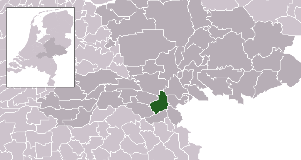
| niha | 22:08, 24 kanûna paşîn 2009 | | 300 x 160 (530 KB) | Michiel1972 | {{Information |Description=*Location maps for the 441 municipalities in the Netherlands. Boundaries 1/1/2009 *Automatically generated with script *File name contains "Municipality code" (CBS-code) as specified in: [http://www.cbs.nl/nl-NL/menu/methoden/c |
Bikaranîna pelê
Ev rûpelên li jêr vê dosyeyê bi kar tînin:
Bikaranîna gerdûnî ya pelê
Ev wîkiyên di rêzê de vê pelê bi kar tînin:
- Bikaranîna di af.wikipedia.org de
- Bikaranîna di ar.wikipedia.org de
- Bikaranîna di en.wikipedia.org de
- Bikaranîna di fa.wikipedia.org de
- Bikaranîna di fr.wikipedia.org de
- Bikaranîna di hr.wikipedia.org de
- Bikaranîna di hu.wikipedia.org de
- Bikaranîna di hy.wikipedia.org de
- Bikaranîna di io.wikipedia.org de
- Bikaranîna di it.wikipedia.org de
- Bikaranîna di la.wikipedia.org de
- Bikaranîna di ms.wikipedia.org de
- Bikaranîna di nl.wikipedia.org de
- Bikaranîna di ru.wikipedia.org de
- Bikaranîna di simple.wikipedia.org de
- Bikaranîna di sl.wikipedia.org de
- Bikaranîna di smn.wikipedia.org de
- Bikaranîna di tr.wikipedia.org de
- Bikaranîna di uk.wikipedia.org de
- Bikaranîna di vi.wikipedia.org de
- Bikaranîna di zh-min-nan.wikipedia.org de
- Bikaranîna di zh.wikipedia.org de
.svg)