
Wêne:TR Izmir asv2020-02 img63 Folkart Towers.jpg
Mezinahiya vê pêşdîtinê: 600 × 600 pîksel. Resolusyonên din: 240 × 240 pîksel | 480 × 480 pîksel | 768 × 768 pîksel | 1024 × 1024 pîksel | 2048 × 2048 pîksel | 4463 × 4463 pîksel.
Dosyeya orjînal (4463 × 4463 pixel, mezinbûnê data: 12,6 MB, MIME-typ: image/jpeg)
| Ev pel ji Wikimedia Commonsê ye. Agahdariya li ser rûpela danasîna pelê li jêr tê nîşandan. |
Danasîn
| Danasîn |
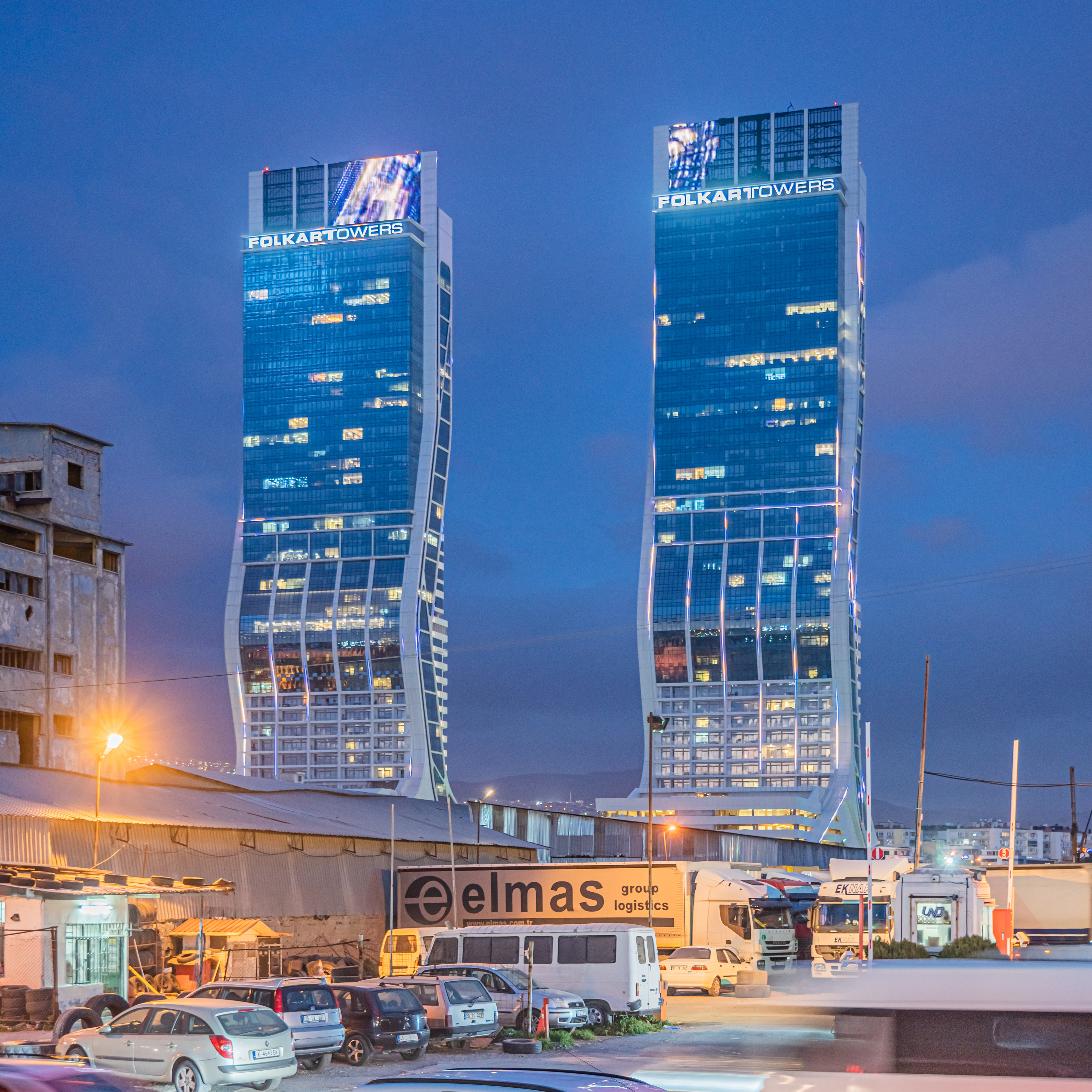
English: Folkart Towers in Izmir, Turkey
Русский: Небоскрёбы Фолкарт-Тауэрс в Измире, Турция |
||
| Dîrok | |||
| Çavkanî | Min çêkir | ||
| Xwedî | A.Savin | ||
| Destûr (Dîsa bikaranînê vê dosyeye) |
.svg) Just attribute the author: «A.Savin, Wikipedia»; if you have questions — Telegram, or e-mail to wikiphotospace@gmail.com..svg) Просто укажите в качестве автора: «А.Савин, Википедия»; если есть вопрос — телеграм, или эл.почта на wikiphotospace@gmail.com. Kennzeichnen Sie einfach als Autor: «A.Savin, Wikipedia»; falls Sie Fragen haben — Telegram, oder E-Mail an wikiphotospace@gmail.com.
Thank you.
|
| Şûnda kamerayê | | Ev wêne û yên din li ser OpenStreetMap |
|---|
| Şûnda objeyê | | Ev wêne û yên din li ser OpenStreetMap |
|---|
.jpg)
Lîsans
| Copyleft: This work of art is free; you can redistribute it and/or modify it according to terms of the Free Art License. You will find a specimen of this license on the Copyleft Attitude site as well as on other sites. |
Dîroka daneyê
Ji bo dîtina guhartoya wê demê bişkoka dîrokê bitikîne.
| Dîrok/Katjimêr | Wêneyê biçûk | Mezinahî | Bikarhêner | Şirove | |
|---|---|---|---|---|---|
| niha | 04:38, 29 çiriya pêşîn 2020 | | 4463 x 4463 (12,6 MB) | A.Savin | {{User:A.Savin/F|L=1 |Description= {{en|Folkart Towers in Izmir, Turkey}} {{ru|Небоскрёбы Фолкарт-Тауэрс в Измире, Турция}} |Year=2020 |Country=Turkey |Month=02 |Day=12}} {{Location|38|27|2.1|N|27|10|20.9|E|region:TR-35}} {{Object location|38|27|15|N|27|10|37|E|region:TR-35}} Category:Taken with Sony ILCE-7RM3 Category:Taken with Sony FE 24-105mm F4 G OSS Category:2020 in İzmir Category:Folkart Towers Category:Night in İzmir Category:Blue hour in Turkey |
Bikaranîna pelê
Ev rûpelên li jêr vê dosyeyê bi kar tînin:
Bikaranîna gerdûnî ya pelê
Ev wîkiyên di rêzê de vê pelê bi kar tînin:
- Bikaranîna di it.wikipedia.org de
- Bikaranîna di ml.wikipedia.org de
- Bikaranîna di ru.wikipedia.org de
- Bikaranîna di tr.wikipedia.org de
- Bikaranîna di vi.wikipedia.org de
- Bikaranîna di www.wikidata.org de