
Wêne:Tanzania relief location map.svg

Size of this PNG preview of this SVG file: 630 × 600 pîksel. Resolusyonên din: 252 × 240 pîksel | 504 × 480 pîksel | 807 × 768 pîksel | 1076 × 1024 pîksel | 2152 × 2048 pîksel | 3302 × 3143 pîksel.
Dosyeya orjînal (Daneya SVG, mezinbûna rast: 3302 × 3143 pixel; mezinbûna daneyê: 3,1 MB)
| Ev pel ji Wikimedia Commonsê ye. Agahdariya li ser rûpela danasîna pelê li jêr tê nîşandan. |
Danasîn
| Danasîn |
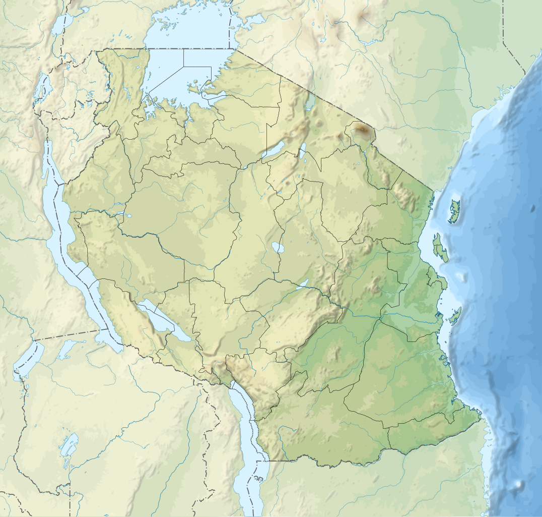
English: Relief location map of Tanzania.
Equirectangular projection. 1° N, 28° W, 42° E, -13° S. Center : -6.375, 35 Español: Mapa de georreferenciación de Tanzania. 1° N, 28° O, 42° E, -13° S. Centro : -6.375, 35
Français : Carte de géolocalisation du relief de la Tanzanie. Projection cylindrique équidistante. 1° N, 28° O, 42° E, -13° S. Centre : -6.375, 35 |
||
| Dîrok | (UTC) | ||
| Çavkanî | Derived from Tanzania_map-fr.svg | ||
| Xwedî | Sémhur | ||
| Guhartoyên din |
[]
| ||
| Lê bar kirin (required by the license) | © Sémhur / Wikimedia Commons / | ||
| SVG | W3C-validity not checked.
|
||
| Graphic Lab |


| Şûnda objeyê | | Ev wêne û yên din li ser OpenStreetMap |
|---|
Lîsans
I, the copyright holder of this work, hereby publish it under the following licenses:
| Copyleft: This work of art is free; you can redistribute it and/or modify it according to terms of the Free Art License. You will find a specimen of this license on the Copyleft Attitude site as well as on other sites. |
This file is licensed under the Creative Commons Attribution-Share Alike 4.0 International, 3.0 Unported, 2.5 Generic, 2.0 Generic and 1.0 Generic license.
- Tu azad î:
- parve bike – ji bo kopîkirin, belavkirin û weşandina xebatê
- ji bo guhartin û adaptekirina naverokê – ji bo adaptekirina xebatê
- Di bin van mercan de:
- isnad – Divê tu isnadeke maqûl bikî, lînekek pêşkêş bikî ji bo lîsansê, û diyar bikî ku guhartin hatiye kirin an na. Tu dikarî vê yekê bi adilî bi cih bînî, lê ne bi awayê ku wekî lîsansor te an bikaranîna te pejirandibe.
- parvekirinê mîna hev – Ger tu materyalê biguherînî, bizivirînî formeke din, an ava bikî divê beşdariyên xwe di bin eynî lîsansê an lîsansa hevaheng de wekî ya eslî belav bikî.
Tu dikarî lîsansa ku tu dixwazî hilbijêrî.
Original upload log
This image is a derivative work of the following images:
- File:Tanzania_map-fr.svg licensed with Cc-by-sa-3.0,2.5,2.0,1.0, GFDL
- 2009-03-20T13:30:18Z Sémhur 3096x3113 (3225659 Bytes) Ol Doinyo Lengaï was misplaced
- 2009-03-20T11:14:35Z Sémhur 3096x3113 (3224368 Bytes) Add location map and few summits.
- 2009-03-19T17:14:13Z Sémhur 3096x3113 (3099209 Bytes) grrr...
- 2009-03-19T17:08:18Z Sémhur 3096x3113 (3099244 Bytes) Oups ! It wasn't the valid one.
- 2009-03-19T17:05:02Z Sémhur 3096x3113 (3122421 Bytes) {{Information |Description={{en|1=Map of [[:en:Tanzania]].}} {{fr|1=Carte de la [[:fr:Tanzanie]].}} {{es|1=Mapa de [[:es:Tanzania]].}} |Source=travail personnel (own work). Sources of data: * Elevations : NASA SRTM3 (public d
Uploaded with derivativeFX
Dîroka daneyê
Ji bo dîtina guhartoya wê demê bişkoka dîrokê bitikîne.
| Dîrok/Katjimêr | Wêneyê biçûk | Mezinahî | Bikarhêner | Şirove | |
|---|---|---|---|---|---|
| niha | 20:32, 3 adar 2020 | | 3302 x 3143 (3,1 MB) | Sémhur | Modifying Tanzanian border claim (from https://www.nbs.go.tz/index.php/en/census-surveys/gis/385-2012-phc-shapefiles-level-one-and-two) |
| 20:18, 28 hezîran 2017 |  | 3302 x 3143 (3,09 MB) | Sémhur | Update with Songwe region | |
| 14:11, 28 kanûna pêşîn 2013 |  | 3096 x 2947 (3,1 MB) | Sémhur | Updated with the four new regions | |
| 15:17, 3 gulan 2009 |  | 3096 x 2947 (3,55 MB) | Sémhur | Adding border between Arusha and Manyara | |
| 18:58, 1 gulan 2009 |  | 3096 x 2947 (3,54 MB) | Sémhur | {{int:summary}} {{Information |Description={{en|1=Relief location map of en:Tanzania.}} {{fr|1=Carte de géolocalisation du relief de la fr:Tanzanie.}} {{es|1=Mapa de georreferenciación de es:Tanzania.}} Equirectangular projection. 0.25� |
Bikaranîna pelê
Ev 4 rûpel li jêr vê dosyeyê bi kar tînin:
Bikaranîna gerdûnî ya pelê
Ev wîkiyên di rêzê de vê pelê bi kar tînin:
- Bikaranîna di af.wikipedia.org de
- Bikaranîna di als.wikipedia.org de
- Bikaranîna di ar.wikipedia.org de
- Bikaranîna di ast.wikipedia.org de
- Bikaranîna di as.wikipedia.org de
- Bikaranîna di avk.wikipedia.org de
- Bikaranîna di av.wikipedia.org de
- Bikaranîna di azb.wikipedia.org de
- Bikaranîna di az.wikipedia.org de
- Bikaranîna di ban.wikipedia.org de
- Bikaranîna di ba.wikipedia.org de
Zêdetir bikaranîna global a vê pelê bibîne.