Modul:Nexşeya cihan/dane/Bûtan
Xuyakirin
| Nav | Bûtan | |||
|---|---|---|---|---|
| Sînorên koordînatan | ||||
| 28.5 | ||||
| 88.6 | ←↕→ | 92.3 | ||
| 26.4 | ||||
| Navênda nexşeyê | 27°27′Bk 90°27′Rh / 27.45°Bk 90.45°Rh | |||
| Nexşe | Bhutan location map.svg
| |||

| ||||
| Nexşe1 | Bhutan relief location map.jpg
| |||

| ||||
| Nexşe2 | Bhutan physical map.svg
| |||

| ||||
| Nexşe3 | Bhutan highways blank location map.png
| |||
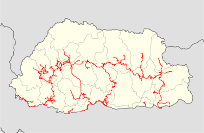
| ||||
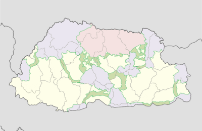
| Nexşe4 | Bhutan protected areas location map.png
| |||
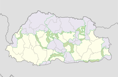
| ||||
| Nexşe5 | Jigme Dorji protected area location map.png
| |||

| ||||
| Nexşe6 | Jigme Singye protected area location map.png
| |||
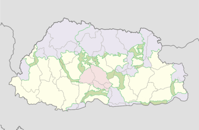
| ||||
| Nexşe7 | Khaling protected area location map.png
| |||

| ||||
| Nexşe8 | Phibsoo protected area location map.png
| |||

| ||||
| Nexşe9 | Thrumshingla protected area location map.png
| |||
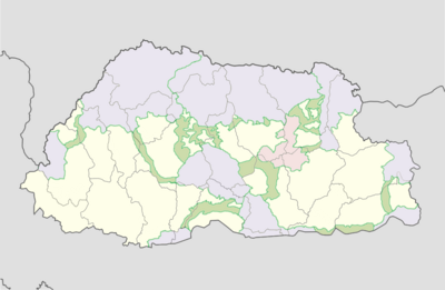
| ||||
| Nexşe10 | Torsa protected area location map.png
| |||

| ||||
| Nexşe11 | Wangchuck Centennial protected area location map.png
| |||
| ||||
return {
	name = 'Bûtan',
	top = 28.5,
	bottom = 26.4,
	left = 88.6,
	right = 92.3,
	image = 'Bhutan location map.svg ',
	image1 = 'Bhutan relief location map.jpg',
	image2 = 'Bhutan physical map.svg',
	image3 = 'Bhutan highways blank location map.png',
	image4 = 'Bhutan protected areas location map.png',
	image5 = 'Jigme Dorji protected area location map.png',
	image6 = 'Jigme Singye protected area location map.png',
	image7 = 'Khaling protected area location map.png',
	image8 = 'Phibsoo protected area location map.png',
	image9 = 'Royal Manas protected area location map.png',
	image9 = 'Thrumshingla protected area location map.png',
	image10 = 'Torsa protected area location map.png',
	image11 = 'Wangchuck Centennial protected area location map.png'
}
