
Wêne:Iran location map.svg

Dosyeya orjînal (Daneya SVG, mezinbûna rast: 1200 × 1071 pixel; mezinbûna daneyê: 299 KB)
| Ev pel ji Wikimedia Commonsê ye. Agahdariya li ser rûpela danasîna pelê li jêr tê nîşandan. |
Danasîn
| Danasîn |
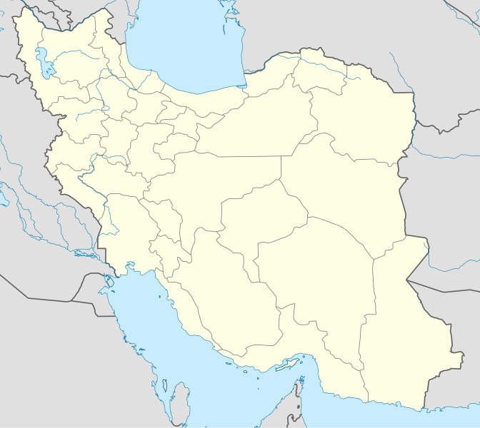
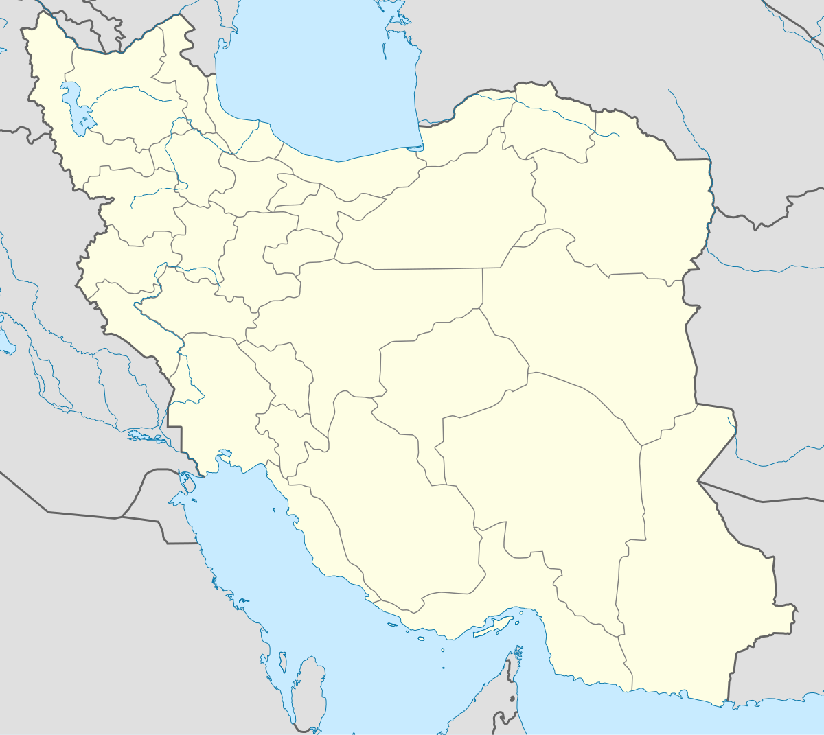
English: Location map of Iran.
Equirectangular projection. Stretched by 118.0%. Geographic limits of the map: * N: 40.0° N * S: 24.5° N * W: 43.5° E * E: 64.0° EMade with Natural Earth. Free vector and raster map data @ naturalearthdata.com. |
| Dîrok | |
| Çavkanî | Min çêkir |
| Xwedî | Uwe Dedering |
| Guhartoyên din |
Derivative works of this file:
|
| SVG genesis | This W3C-invalid map was created with Adobe Illustrator, and with Inkscape. |

Lîsans
- Tu azad î:
- parve bike – ji bo kopîkirin, belavkirin û weşandina xebatê
- ji bo guhartin û adaptekirina naverokê – ji bo adaptekirina xebatê
- Di bin van mercan de:
- isnad – Divê tu isnadeke maqûl bikî, lînekek pêşkêş bikî ji bo lîsansê, û diyar bikî ku guhartin hatiye kirin an na. Tu dikarî vê yekê bi adilî bi cih bînî, lê ne bi awayê ku wekî lîsansor te an bikaranîna te pejirandibe.
- parvekirinê mîna hev – Ger tu materyalê biguherînî, bizivirînî formeke din, an ava bikî divê beşdariyên xwe di bin eynî lîsansê an lîsansa hevaheng de wekî ya eslî belav bikî.

|
Ev dosye di bin Lîsansa Belgekirina Azad a GNU hate barkirin.
Kopîkirin, belavkirin û guhartin di bin qebûlkirinên lîsansa GNU de ye, versiyona 1.2 versiyoneke kevintirîn a belavkirinê ya ji bo Weqfa Nivîsbara Azad, tê qebûlkirin. Kopyeyek lîsanse di beşa bi sernavê Lîsansa Belgekirina Azad a GNUde cî digre. |
Dîroka daneyê
Ji bo dîtina guhartoya wê demê bişkoka dîrokê bitikîne.
| Dîrok/Katjimêr | Wêneyê biçûk | Mezinahî | Bikarhêner | Şirove | |
|---|---|---|---|---|---|
| niha | 07:59, 22 çiriya pêşîn 2013 | | 1200 x 1071 (299 KB) | NordNordWest | Reverted to version as of 17:55, 15 April 2013; no reason for change given |
| 13:44, 21 çiriya pêşîn 2013 |  | 1200 x 1071 (640 KB) | Ekivalan | Reverted to version as of 17:38, 12 April 2013 | |
| 13:43, 21 çiriya pêşîn 2013 |  | 1200 x 1071 (640 KB) | Ekivalan | Reverted to version as of 17:38, 12 April 2013 | |
| 17:55, 15 nîsan 2013 |  | 1200 x 1071 (299 KB) | NordNordWest | according to http://images.persianblog.ir/516041_B0b76ypr.jpg + Tabas -> South Khorasan province | |
| 17:40, 12 nîsan 2013 |  | 1200 x 1071 (640 KB) | Yamaha5 | Reverted to version as of 20:08, 11 July 2010 | |
| 17:38, 12 nîsan 2013 |  | 1200 x 1071 (640 KB) | Yamaha5 | Reverted to version as of 20:08, 11 July 2010 in all maps khorasan is like past! | |
| 11:30, 17 adar 2013 |  | 1200 x 1071 (294 KB) | NordNordWest | upd | |
| 20:08, 11 tîrmeh 2010 |  | 1200 x 1071 (640 KB) | Uwe Dedering | 31. province Alborz | |
| 17:44, 18 sibat 2010 |  | 1200 x 1071 (705 KB) | Uwe Dedering | Bahrain above water, no disputed countries | |
| 13:00, 18 sibat 2010 |  | 1200 x 1071 (709 KB) | Uwe Dedering | {{Information |Description={{en|1=Location map of Iran. Equirectangular projection. Strechted by 118.0%. Geographic limits of the map: * N: 40.0° N * S: 24.5° N * W: 43.5° E * E: 64.0° E Made with Natural Earth. Free vector and raster map data @ |
Bikaranîna pelê
Zêdetirî 100 rûpelan vê pelê bi kar tînin. Lîsteya li jêr 100 rûpelên pêşîn ên ku tenê vê rûpelê bi kar tînin nîşan dide. Lîsteya temamê wan berdest e.
- Alyawa, Kelaterzan
- Awdanan
- Azerbaycana Rojhilat (parêzgeh)
- Bane, Kurdistan
- Bender Ebbas
- Berqurû
- Bojnord
- Bokan
- Bîcar
- Bîrcend
- Bûşehr
- Bûşehr (parêzgeh)
- Cirindih
- Dadaney Kemanger
- Danîkeş
- Dere Wişke
- Dirêle
- Dîwandere
- Ehvaz
- Ekbatana
- Erak
- Erdebîl (parêzgeh)
- Fars (parêzgeh)
- Genewe
- Gulistan (parêzgeh)
- Gîlan (parêzgeh)
- Hemedan
- Hemedan (parêzgeh)
- Herêma Dînewerê
- Hurmizgan (parêzgeh)
- Kelatê
- Kerec
- Keryene
- Kirman (parêzgeh)
- Kirmaşan (parêzgeh)
- Kurdistan (parêzgeh)
- Kûgîluyî û Buwêr Ehmed (parêzgeh)
- Kûyeşt
- Lengerêz
- Luristan (parêzgeh)
- Makû
- Mazenderan (parêzgeh)
- Mehabad (bajar)
- Merkezî (parêzgeh)
- Merîwan
- Miyane
- Nexede
- Nigil
- Nodşe
- Nosûde
- Nîşabûr
- Pawe
- Peyçûn
- Pîranşar
- Qarna
- Qazwên (parêzgeh)
- Qelacox
- Qelaşêxan
- Qum
- Qum (parêzgeh)
- Revanser
- Reşneş
- Reşt
- Sarî
- Selmas
- Seqiz
- Serdeşt (bajar)
- Simnan (parêzgeh)
- Sine
- Sine (navçe)
- Spêran
- Sunqûr
- Sîstan û Belûçistan (parêzgeh)
- Tazaway Îsîyawa
- Tehran
- Tehran (parêzgeh)
- Tengava Hurmiz
- Tewrêz
- Tiware Rûte
- Tiwarmela
- Têjtêj
- Tîkab
- Xorasana Başûr (parêzgeh)
- Xorasana Rezewî (parêzgeh)
- Xurose
- Xurremabad
- Xweşaw
- Xûzistan (parêzgeh)
- Yezd (parêzgeh)
- Zencan (parêzgeh)
- Zonc
- Çawilkan Hacî
- Îlam
- Îlam (parêzgeh)
- Îsfehan
- Îsfehan (parêzgeh)
- Îsiyawa
- Ûrmiye
- Şarîkurd
- Şino
View more links to this file.
Bikaranîna gerdûnî ya pelê
Ev wîkiyên di rêzê de vê pelê bi kar tînin:
- Bikaranîna di af.wikipedia.org de
- Bikaranîna di als.wikipedia.org de
- Bikaranîna di an.wikipedia.org de
- Bikaranîna di ar.wikipedia.org de
- محمد بن إسماعيل البخاري
- طهران
- صحيح مسلم
- محافظات إيران
- فخر الدين الرازي
- كأس آسيا 1968
- كأس آسيا 1976
- مسلم بن الحجاج
- قالب:خريطة مواقع إیران
- مشهد
- زلزال بم 2003
- تفجيرات زاهدان 2010
- زلزال طبس 1978
- بطولة آسيا للناشئين تحت 16 عاما 2012
- قائمة المفكرين المسيحيين في العلم
- مرتضى الأنصاري
- زلزال تبريز 2012
- شعيطة (رامشير)
Zêdetir bikaranîna global a vê pelê bibîne.